
The Mission Creek / Mission Bay community faces urgent seismic risks and increasing flood risks from sea level rise. The Port of San Francisco, along with City partners, are addressing both of these risks through Waterfront Adaptation Strategies Development, the San Francisco Waterfront Flood Study, and the Southern Waterfront Earthquake Assessment.
Flood and Earthquake Risks in Mission Creek and Mission Bay
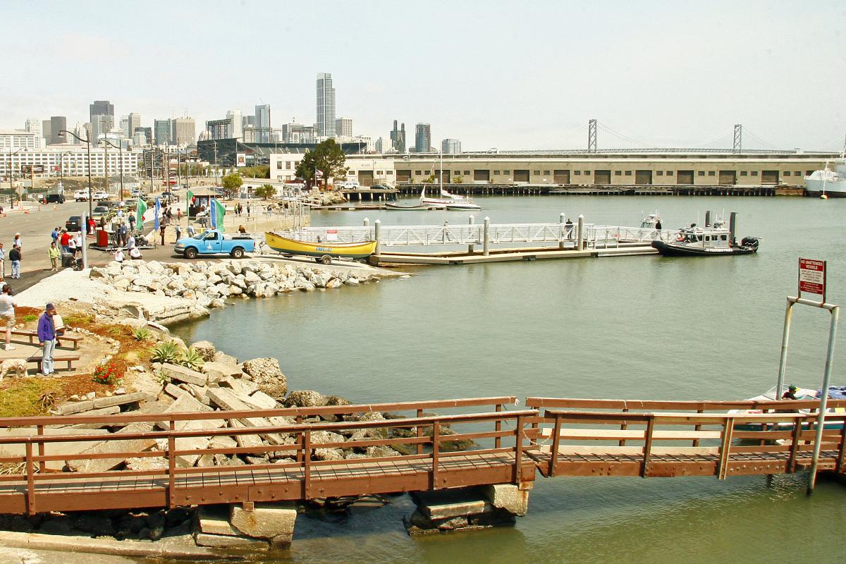
Flooding from sea level rise has the potential to impact life in the Mission Bay neighborhood. Today, stormwaters flood the Mission Creek area. As sea levels continue to rise, there will be increased flood risks, particularly along the shoreline, including to Muni and key utility infrastructure. Flooding could directly impact homes and disrupt local commercial corridors, commutes and transit options, parks and open spaces, emergency services, and hospitals and healthcare centers, posing serious challenges to the Mission Creek / Mission Bay community and the city as whole.
Mission Bay was originally an over 500- acre salt marsh and lagoon inhabited by the Ramaytush Ohlone people before it was filled in the late 1800s/early 1900s. The area began to transition to industrial use in the late 1800s and was filled with 1906 debris. Areas filled in the 1800s and early 1900s, like Mission Creek, are subject to liquefaction in the event of an earthquake.
Impacts of Flood and Seismic Risks
- Transportation and mobility
- Emergency response and recovery
- Disruption and damage to residences
- Disruption and damage to Port operations and tenants
- Disruption and damage to community assets and services including parks, roadways, hospitals and healthcare centers, and commercial corridors
Given the complex nature of these issues and the scale of potential impacts, many interrelated efforts are being conducted in the City to understand the severity and progression of climate change impacts, involve the people and communities that could be potentially affected by flooding or earthquakes, and create ideas and actions to defend communities, the economy, and the environment.
Resilience Efforts Underway
San Francisco Waterfront Flood Study - Recommended Plan
The U.S. Army Corps of Engineers (USACE), in collaboration with the City of San Francisco, have conducted a Flood Study to analyze the coastal flood risk and effects of sea level rise for the 7.5 miles of waterfront within the Port of San Francisco's jurisdiction, from Aquatic Park to Heron's Head Park.
In August 2026, the Flood Study was finalized with the release of a Recommended Plan, achieving a major milestone in a nearly eight-year partnership. The Recommended Plan evolved from the best ideas, technical approaches, and public input from the Draft Plan, released for public review in 2024. Read more in the Recommended Plan Highlights Document.
Southern Waterfront Earthquake Assessment
The Port is leading an effort in the southern part of the Port's jurisdiction to fill any gaps in the Port, City, and community understanding of the earthquake risks and opportunities. The Assessment will draw from, and integrate with, a number of existing efforts, including the Islais Creek Southeast Mobility Adaptation Strategy, the Embarcadero Seawall Program, the U.S. Army Corps of Engineers (USACE) San Francisco Waterfront Coastal Flood Study, and Citywide sea level rise work.
- Focus: All hazards, broad resilience (Equity, Environment, Economy)
- Implementation: Short, Medium, and Long-Term
- Lead Agency: Port of San Francisco